Soil data and maps
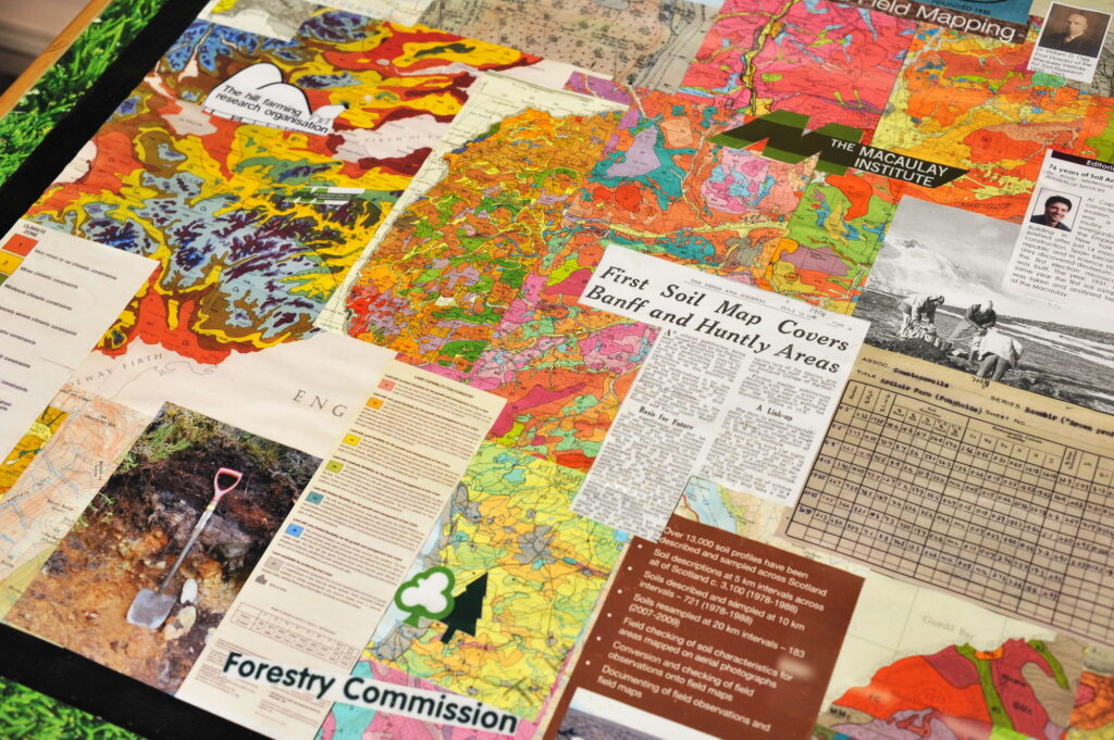
Soils represent one of the most complex and dynamic natural systems studied by scientists. We have been collecting data on Scotland’s soils since the 1940s. We now have information on more than 60,000 air-dried soil samples collected from around 15,000 locations.
At The James Hutton Institute, we have an ongoing program to digitise, update and enhance existing soil survey and map data. We investigate ways to effectively monitor soils. Establishing which soil properties are the most useful to give us an early indication of detrimental changes. We are the custodian of the National Soil Inventory for Scotland and the National Soil Archive of Scotland.
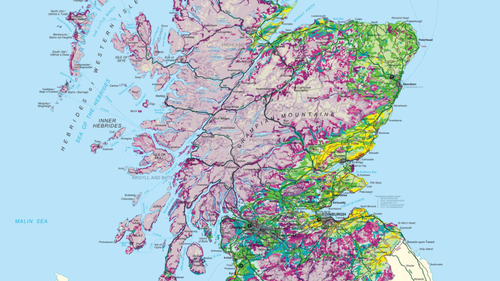
Soil maps
The Institute has a long and successful record in capability assessment and mapping. A number of soil datasets can be downloaded from our site.
Soil maps display the distribution of different soil types across the land based on what you can see in the field. The amount of detail shown on a map depends on its scale.
Land Capability for Agriculture (LCA)
The Land Capability for Agriculture classification was developed in the late 1970s and is as relevant now as it has ever been.
It is now being used in both a research capacity in the assessment of climate change impacts on agriculture and in policy development as agricultural subsidy moves towards area-based payments.
The National Soils Archive
The National Soils Archive is held at the James Hutton Institute in Aberdeen.
Our core activity is the long term storage and maintenance of this valuable resource and we are supported by the Rural & Environment Science & Analytical Services Division of the Scottish Government.

You can also stay connected with our science by following us on social media, by following us, you’ll get real-time updates on our projects, events, and collaborations. Follow us on X, LinkedIn and Facebook now.