Hutton scientists help develop new standards to asses AI reliability for environmental mapping
The James Hutton Institute has helped a Scottish consortium of geospatial and environmental data experts develop new standards to assess the reliability of the Artificial Intelligence (AI) and Machine Learning (ML) algorithms used in environmental mapping.
Titled the Trustable AI in Mapping (TAiM) initiative, the project used funding from Innovate UK to establish clear evaluation standards for AI-driven environmental mapping, ensuring its credibility and effectiveness in real-world applications.
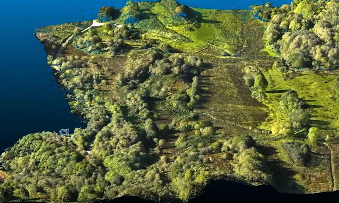
AI and ML technologies have the potential to revolutionise environmental mapping by automating feature identification and analysis from remotely sensed data. They offer greater efficiency over traditional methods like manual digitisation and Geospatial Information System (GIS)-based operations. However, concerns over accuracy, reliability, and the “black box” nature of AI models have slowed adoption.
To tackle these challenges, the TAiM consortium, led by EOLAS Insight Ltd, is building a standardised framework to assess AI model performance for land cover mapping. The group has developed example AI algorithms to test the system, generating high-quality validation datasets. The finished frameworks are to be published openly, allowing others to assess and refine their own AI models with greater confidence.
The project concluded in March 2025, having lasted one year. Its key outcome is a website featuring a map-accuracy data portal and a knowledge base.
The data portal enables map producers and users to assess AI-derived maps by comparing them with high-quality field data, including detailed habitat maps, sub-metre forest canopy height and surveys of specific ecosystems like salt marshes, grasslands and peatlands. Meanwhile, the knowledge base offers articles on best practices for understanding and testing AI map accuracy, along with case studies demonstrating how the portal and its data can support effective map evaluation.
Dr Hannah Rudman, Dr Matt Aitkenhead worked together on the project, alongside other members of the Information and Computational Sciences department, the Ecological Science department, and Biomathematics and Statistics Scotland.
Dr Rudman said: “The use of AI for mapping Scotland’s landscape is making the process faster and reducing costs. However, field data will always be needed to drive the modelling, and the data products are interpreted differently from ground survey mapping. The TAiM project is helping to resolve challenges and increase trustability in this new kind of knowledge.”
For further information on this project, contact Doug@eolasinsight.com.
Disclaimer: The views expressed in this blog post are the views of the author, and not an official position of the institute or funder.